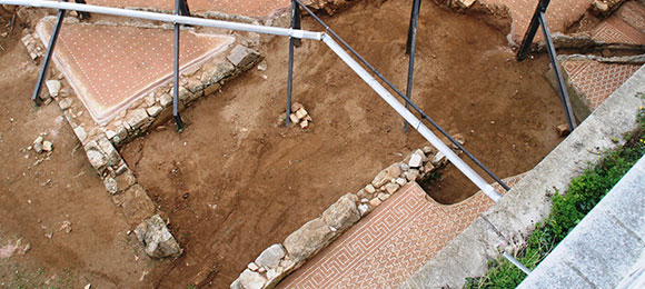
A late Republican settlement with marked Italic characteristics was built at the foot of the Iberian settlement of Burriac during the second half of the 2nd c. B.C.E. Since 1997, excavations at a number of sites in the present municipality of Cabrera de Mar (Barcelona) have uncovered sections of this settlement, which is now known to extend over more than three hectares.
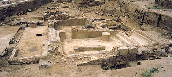
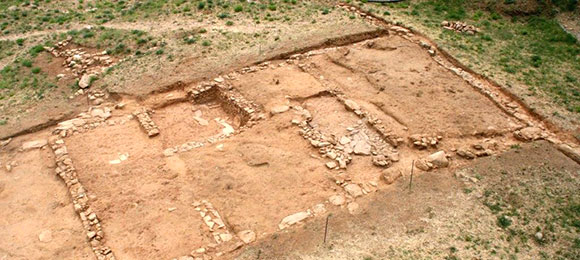
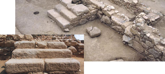
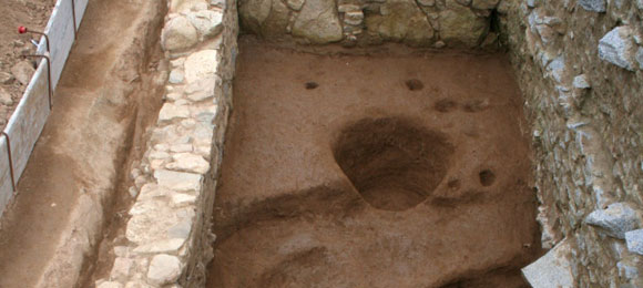
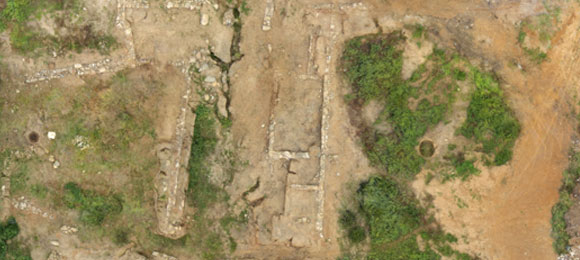
The buildings excavated to date in general use fairly similar construction techniques. Residential spaces of different sizes, workshops, warehouses, and production facilities have all been identified. A number of roads articulating and ordering a large part of the built-up area have come to light. The chronology of this settlement extends from roughly the mid-2nd c. B.C.E to the first quarter of the 1st c. B.C.E.
In what follows, we describe the layout of the settlement, differentiating between structures on the west side of the Cabrera de Mar stream, and those located on the eastern side. It must be kept in mind that the former are much better known than the latter.